
Advanced Drain Mapping & Survey Technology
Our drainage mapping and locating service is powered by our own in-house developed mapping and survey platform, built specifically around real-world drainage investigations. It allows our engineers to accurately locate, record and digitally map drainage networks, including manholes, chambers, pipe routes and other key assets. Using GPS positioning, CCTV inspection data and on-site observations, we can build clear digital drainage plans showing pipe connections, flow direction, asset locations and whether systems are combined or separated. The completed information can then be presented in professional reports and drainage plans, providing clients with a valuable long-term record of their underground drainage infrastructure.
Locate hidden ap's!
Find hidden chambers and access points, providing ease of access in the future!
pinpoint pipework faults!
Locate and record pipework faults on video and above ground!
Drainage mapping!
Not sure how your drainage system runs? We can map this out for you!
Inspect and locate!
Whether you’re just looking for hidden access points, having drainage issues or maybe even a rodent issue, rest assured we can help!
We have many years of knowledge and experience when it comes to drains, but also pest control!
We also work very closely with a local pest control business to provide a second opinion where needed!
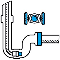
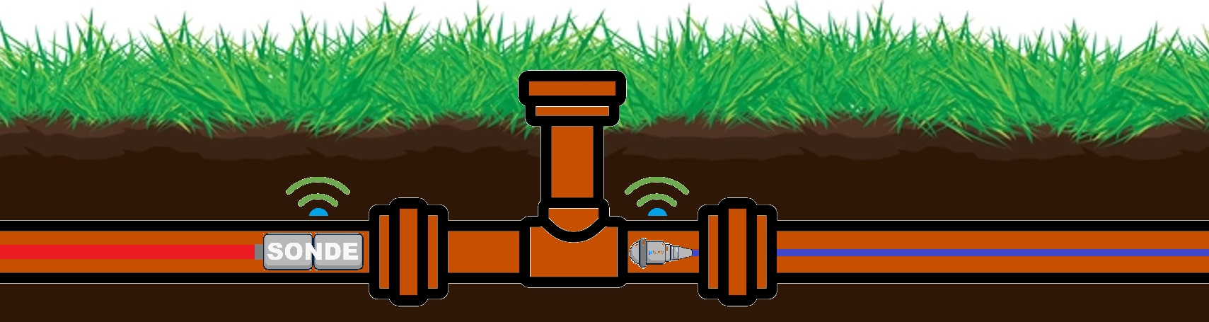
We have multiple ways of locating!
We have multiple methods available to deliver our location services, from a simple pushrod sonde, camera sonde or even a pushrod line chaser. Furthermore, we also use different frequencies which provide different benefits, depending on the job requirements. Our lowest frequency is 512Hz and in some cases we will use a dual frequency sonde, Frequencies behave differently in different environments, in and outside of the pipeline, factors such as pipe make up and interference are just to name a few!